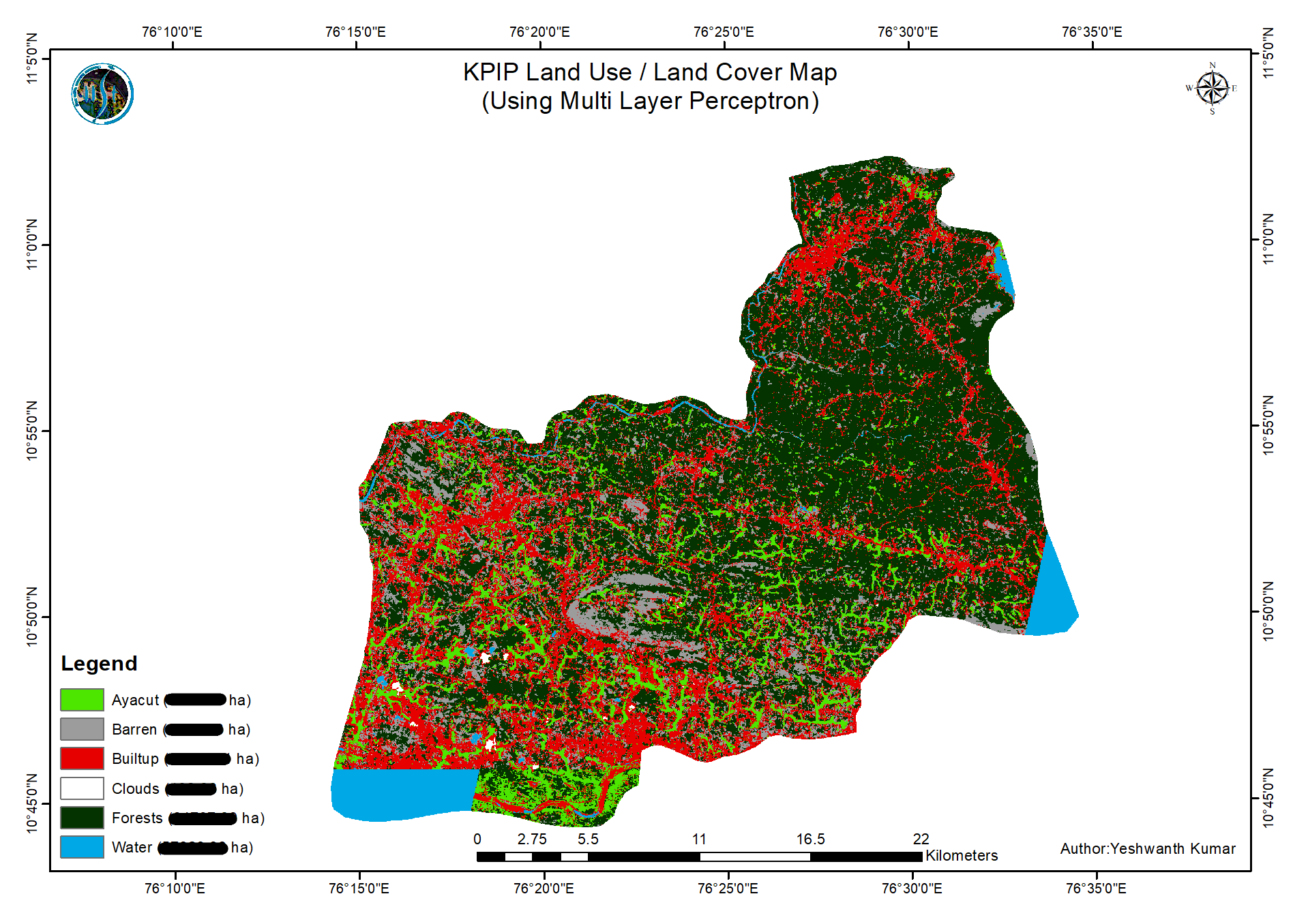
from Sentinel-2 imagery using the Multi Layer Perceptron Algorithm
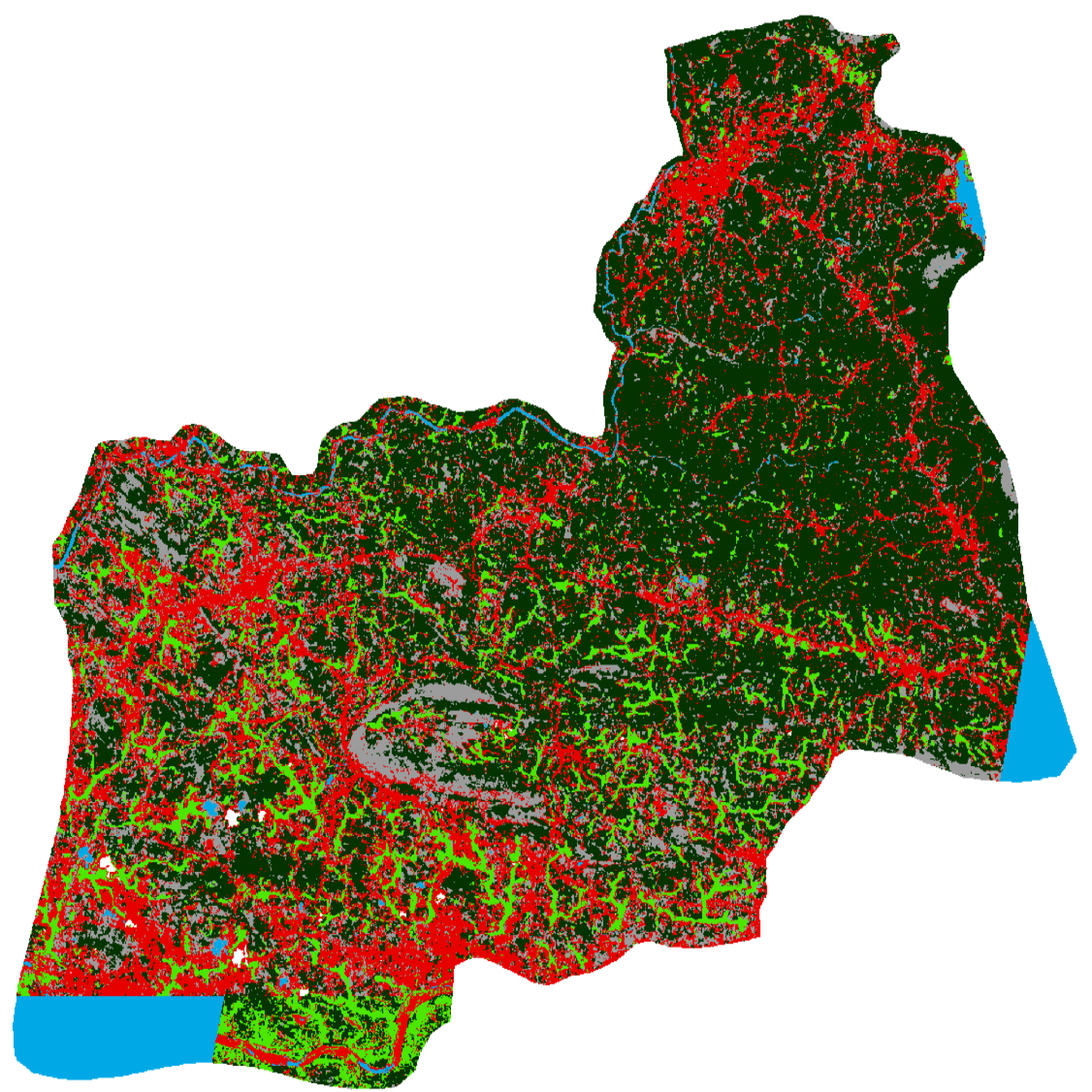
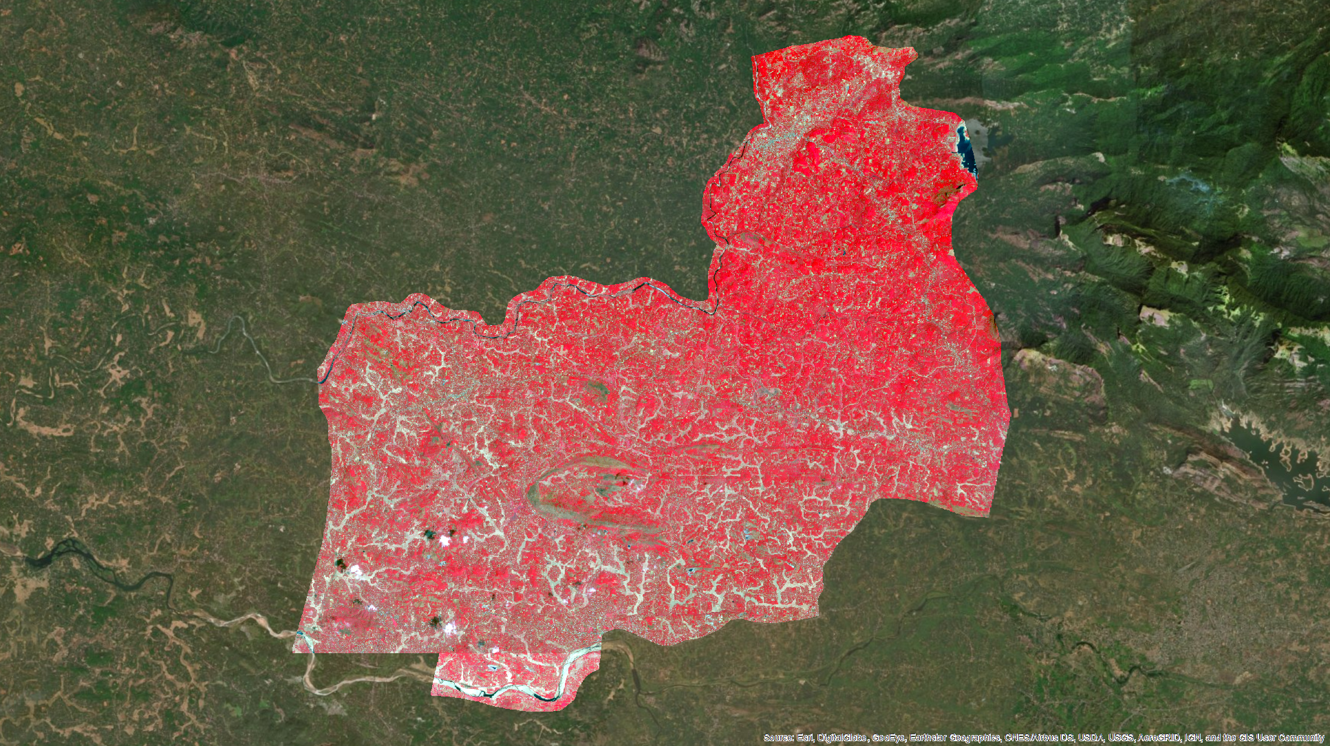
This project was carried out & submitted as part of an outreach programme to the Irrigation Design and Research Board (IDRB) of the Government of Kerala. In this project, the primary objective was to calculate the ayacut area (cultivated & cultivable area) in the command region of the Kanjirappuzha Irrigation Project.
Upon completion of this project, I had gained valuable experience & insights in coordinating with government engineers and ensuring that the data products met the high standards of the decision-makers. Furthermore, I was also able to acquaint myself with the standard workflow followed by governmental GIS technicians in solving their various problems. This outreach programme also allowed me to relay & instruct the IDRB GIS technicians regarding the various sources of open remote sensing data and state-of-the-art processing techniques.
Consequently, the project was completed as per the requirements and the results were submitted to the IDRB.