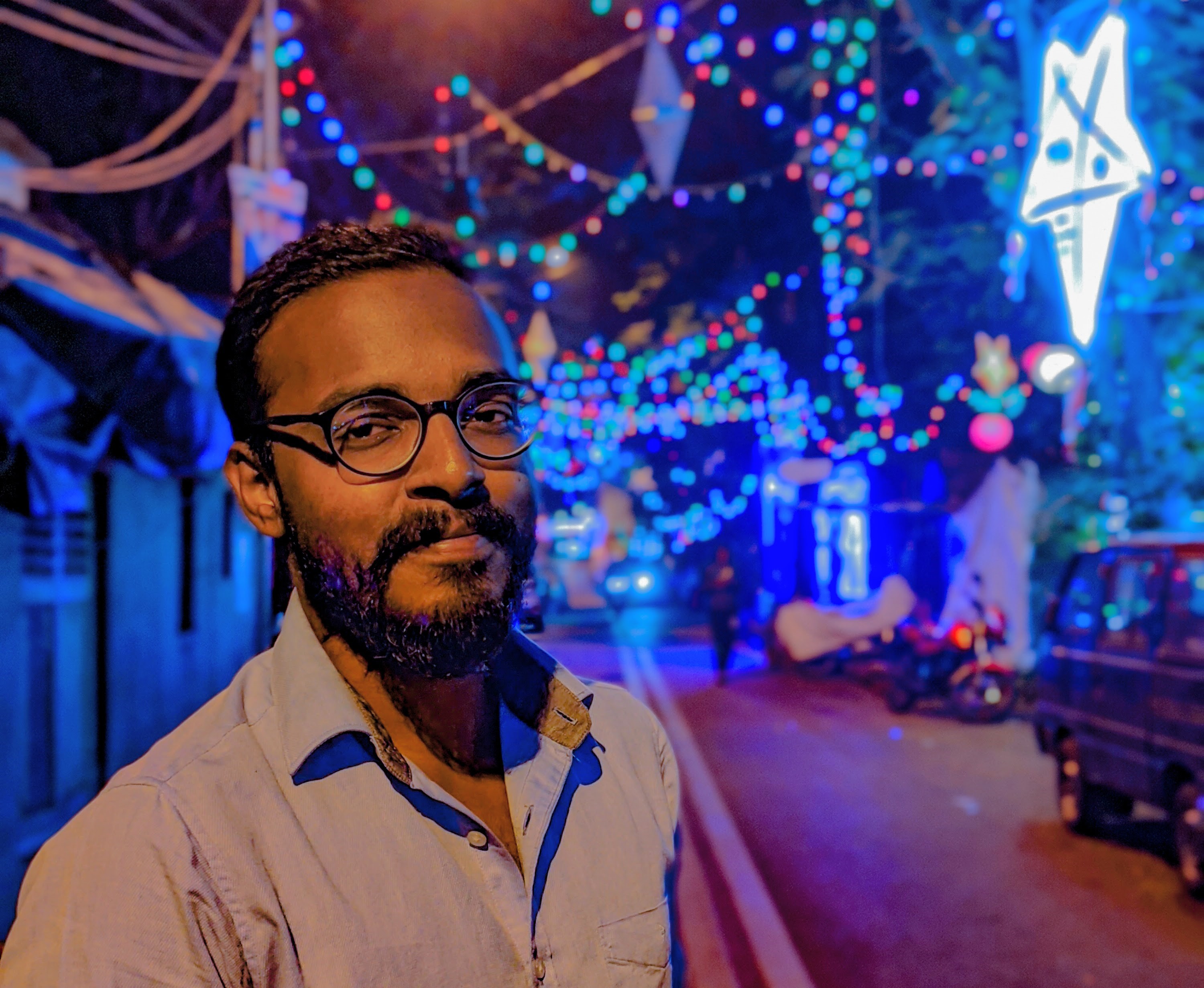
a Doctoral Researcher in 3D Scene Understanding
Being conversant in various remote sensing, photogrammetric & GIS techniques, I can perform extensive analyses such as DEM generation, watershed delineation, LU/LC mapping, digital heritage mapping, structure from motion, etc. and derive meaningful insights from remote sensing & geographic data.
I am proficient in processing & analysing remote sensing data from a host of optical sensors (Sentinel-2, Landsat-8 OLI, Cartosat, etc.), terrestrial & airborne LiDAR sensors (e.g., FARO Focus S 350) and synthetic aperture radar sensors (Sentinel-1) using Python, R, Javascript, and other software such as ArcGIS, QGIS, CloudCompare, LAStools, ENVI, ERDAS Imagine, SNAP, etc.
I have a solid understanding of several machine learning & deep learning algorithms (such as KNN, K-means, SVM, MLP, CNN, etc.), using which I can implement end-to-end workflows for classification, segmentation & object detection tasks in satellite imagery and LiDAR point cloud data. I am proficient in using several ML/DL frameworks such as Tensorflow, Pytorch, Keras, scikit-learn, etc.
ML Researcher, Developer & Geospatial Engineer based out of Nicosia, Cyprus
Apart from being a mostly self-taught programmer, I have a Master's degree in Geoinformatics from the Indian Institute of Space Science and Technology and a Bachelor's degree in Civil Engineering from Anna University. I have always wanted to explore the intersection of my passion for coding and my background in core engineering, which ultimately has led me to pursue geospatial development as a career.
Working on intuitive solutions for real-world issues has always been a primary source of inspiration for me. This has led me to develop a keen interest in research, which was only further augmented by my research experience during my Master's degree. Presently, I am working as a Research Associate in the Visual Computing Group of CYENS Centre of Excellence, Nicosia. I am also pursuing doctoral research at the Cyprus University of Technology.
My work primarily focuses on developing deep neural network architectures for 3D urban scene understanding.
Besides all the technical jargon, I am a person who enjoys my everyday evening cup of tea and in my downtime, listening to my favourite music, sketching away at a piece of paper as I see fit.
A selection of my range of work